
Escondido ZIP Codes by Area
The four principal geographic ZIP codes associated with Escondido are 92025, 92026, 92027, and 92029. The city data dashboard also uses 92030, 92033, and 92046 in an Escondido-labeled seven-code view. The last three are described as nonstandard or special codes whose current USPS type and facility should be verified before treating them as ordinary residential geography.
| ZIP code | Broad local coverage | Post office or check | Boundary note |
|---|---|---|---|
| 92025 | Central, downtown, and southern-central Escondido | Main Escondido Post Office | Postal geography is broader than a downtown polygon |
| 92026 | Northern Escondido, North Broadway and Country Club vicinity | Geographic ZIP | Edges meet unincorporated North County areas |
| 92027 | Eastern Escondido, East Valley and Parkway vicinity | Orange Glen and USPS check | Postal label does not guarantee incorporation |
| 92029 | Southwest and west Escondido, industrial and Lake Hodges vicinity | USPS address verification | Complex city and unincorporated edge |
| 92030 | Escondido-labeled special code | Verify current USPS type | Do not assume ordinary residential geography |
| 92033 | Escondido-labeled special code | Verify current USPS type | Do not assume ordinary residential geography |
| 92046 | Escondido-labeled special code | Verify current USPS type | Do not assume ordinary residential geography |
The county’s geographic list places 92025 through 92029 in North Inland and excludes historical and PO-box ZIPs from that list. Use it for regional context, then verify one delivery address with USPS. A post office facility does not define a municipal boundary.
The San Diego County ZIP map and list is the source for the regional ZIP grouping.
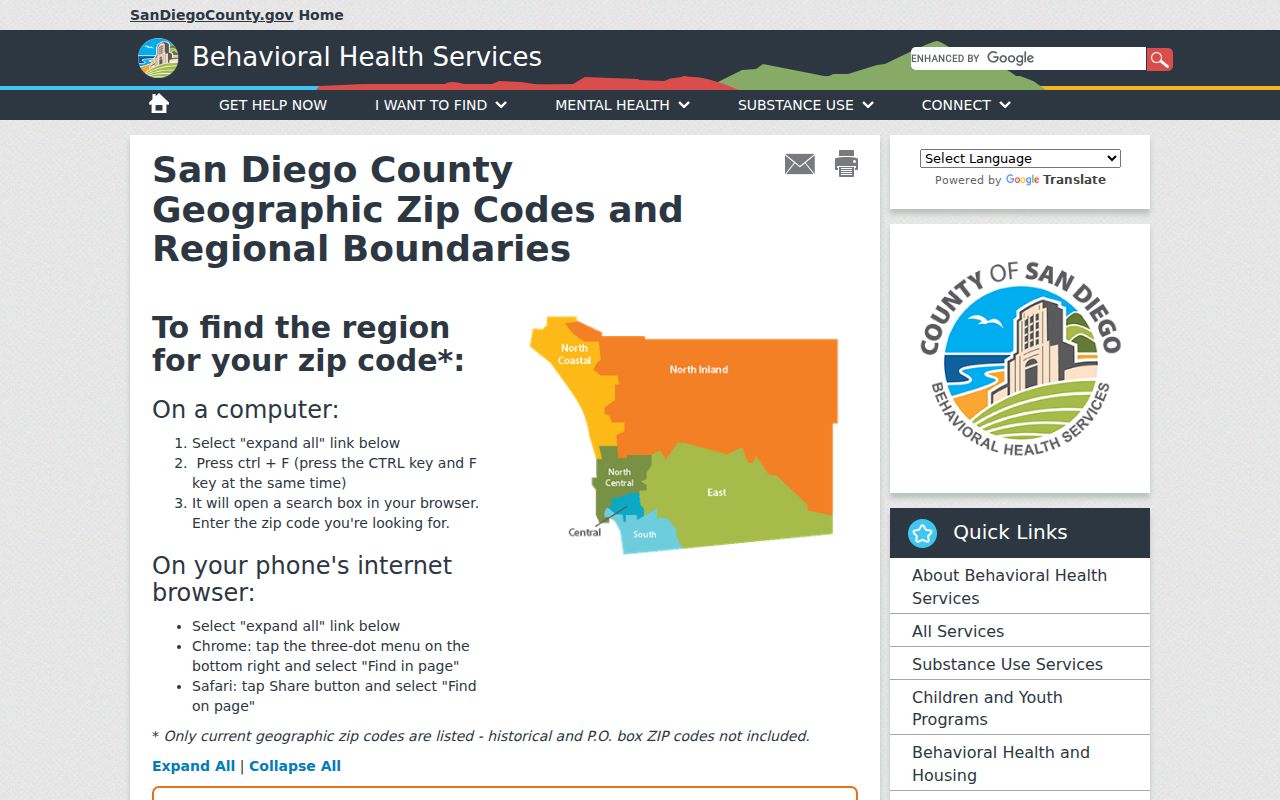
The county map gives a geography starting point, but an address-level ZIP check still belongs with the postal service.
Three Escondido ZIP Labels Need Verification
92030, 92033, and 92046 appear in the city dashboard’s Escondido-labeled set, but the research does not verify that each is a standard residential polygon. They may represent special or nonstandard postal uses. A directory that treats all seven codes as equal residential areas would blur the very distinction the postal system makes.
Use the code as a lead, not as proof of a city address. Run the full street address through USPS. Then use Escondido GIS to check the parcel and incorporation status. If the ZIP is only a post-office or special designation, move to the physical address, APN, or city and county record rather than expecting a ZIP-wide people search.
ZIP+4 adds delivery detail to a five-digit ZIP. It does not turn a postal code into a resident directory. A PO-box ZIP is associated with box delivery. A unique ZIP serves one institution or narrow destination. A carrier route is a postal delivery path, not a municipal neighborhood.
Finding Residents by Escondido ZIP Code
The ZIP code directory is a narrowing tool. The county assessment portal accepts address, street name, and APN, not ZIP. The city GIS layer works with parcels and mapped attributes. The voter system requires either a personal authenticated check or a statutory application. A searcher should therefore verify the ZIP, collect the addresses or parcels that fit, and then switch to the record type that can answer the real question.
- Verify the complete delivery address and ZIP with the USPS ZIP Code Lookup.
- Use the county geographic ZIP list to understand the North Inland context and note whether the code is in the ordinary four-code set or a special labeled group.
- Use Escondido GIS to check the parcel, APN, zoning, and city or unincorporated context. GIS shows land units, not a roster of occupants.
- Use the secured assessment search by street, address, or APN. Do not expect a ZIP filter or online owner display.
- Once a ZIP narrows to a street, continue with the Escondido street directory address chain rather than repeating a ZIP-only search.
A ZIP-wide voter extract is not a casual search. California Elections Code §§2180-2194 requires a permissible purpose, identity information, and a signed application. My Voter Status is for the authenticated voter. That restriction is part of the ZIP code directory’s accuracy, not a missing search feature.
Escondido USPS ZIP Lookup Fields
The USPS tool answers a delivery question: whether the supplied location matches a ZIP and postal city format. It is the right check when a city label, special code, or edge address looks uncertain. It does not identify residents, owners, parcels, or city jurisdiction.
| Lookup input or result | Use |
|---|---|
| Street address | Test the complete delivery location rather than a ZIP in isolation. |
| City and state | Check the postal city pairing used for the address. |
| ZIP or ZIP+4 result | Confirm the returned delivery code and added precision when available. |
| Facility information | Use the listed post-office clue for delivery follow-up, not as a city boundary. |
Published facility clues include the Main Escondido Post Office at 1157 W. Mission Ave., 92025-9998, the Escondido Postal Store at 403 N. Escondido Blvd., 92025-9997, and Orange Glen at 1770 E. Valley Parkway, 92027-9998. Phone numbers and hours can change, so verify them in the live USPS result.
USPS ZIP lookup should be used before a ZIP-keyed Escondido directory search.
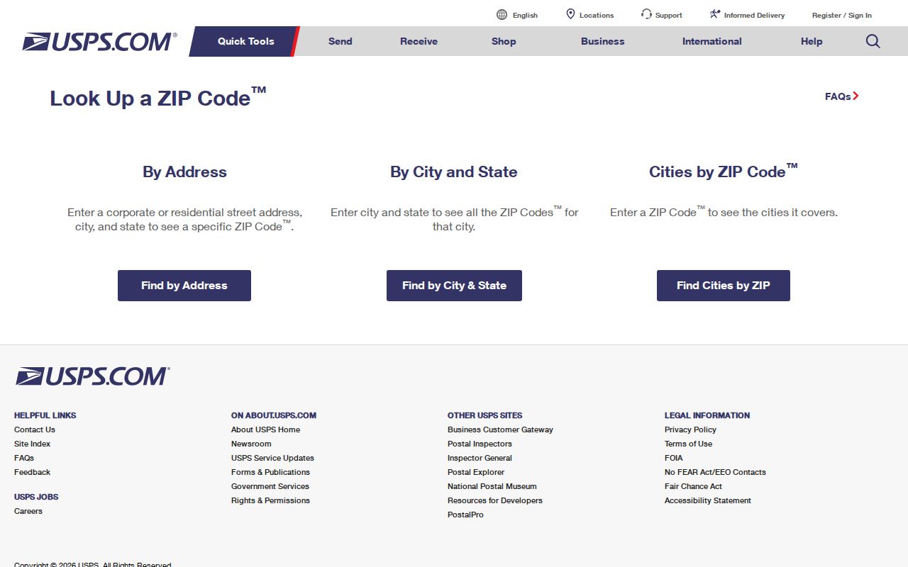
The postal form helps settle delivery geography while leaving person-level research to the proper custodian.
Escondido Assessor ZIP Search Limit
The secured assessment roll is not a ZIP code directory. Its documented fields are Parcel Number, Address, and Street Name. It returns APN, situs, assessed values, and exemptions, while online owner information is withheld under Government Code §7928.205. A ZIP can help a researcher think geographically, but it is not a field in the current public form.
To move from ZIP to parcel, verify an address with USPS, use the city or county map to find the APN, and then search the assessment form by address or APN. The parcel map may show dimensions, acreage, boundaries, adjacent parcels, and recorded-map references. It does not show a street address or owner on the map itself.
That limitation prevents a ZIP label from being mistaken for a public list of people. It also directs the search toward records that have a stated custodian and access route.
Escondido 92025 ZIP Core
92025 is the principal central and downtown Escondido code in the research. It also covers southern-central areas, so the code is broader than a downtown neighborhood name. Historic directory and Sanborn research is most likely to intersect the older central core, but the ZIP itself does not date a building or identify a household.
For a 92025 address, confirm delivery with USPS, then use city GIS for parcel context and the Pioneer Room for older directories, maps, newspapers, and property clippings. The current assessment roll remains address or APN keyed. A historic city directory may show a listed subscriber at a central address for one year, while a deed may show a different party or later transfer.
Escondido 92026 and 92027 ZIP Edges
92026 covers northern Escondido, including the North Broadway and Country Club vicinity in the broad local description. 92027 covers eastern Escondido, East Valley, Parkway, and nearby communities. Both codes approach unincorporated North County areas, so a postal city label cannot settle incorporation.
Use GIS for jurisdiction and parcel status, USPS for delivery, and the county sources for assessment or recorded-document work. If an older directory uses a rural route or a different street form, compare the entry with a Sanborn sheet, parcel map, or adjacent volume. A ZIP code directory can orient a search but cannot resolve a historical street change on its own.
Escondido 92029 ZIP Edge
92029 covers southwest and west Escondido, including industrial or commercial areas and the Lake Hodges vicinity in the broad research description. The edge geography is complex. An address can carry an Escondido postal label while sitting outside the incorporated city, or a city parcel can use a postal arrangement that does not match a simple city polygon.
For this ZIP code, begin with the complete address, not just the postal city. Check the county ZIP map, then USPS, then the Escondido parcel layer. The result determines whether a city permit or county record is the next source. A business or permit address can show an affiliation or site history, but it is not proof of a private residence.
Escondido Parcel Lookup supplies the jurisdiction and parcel check after USPS confirms the delivery code.
Privacy Limits for an Escondido ZIP Directory
A ZIP narrows geography, but it does not loosen California’s protections. Safe at Home addresses remain confidential. Voter data has permitted-use rules. The county assessment site suppresses online owner information. Data-broker privacy requests do not erase the county, city, court, or state record that supplied a public fact.
The California Privacy Protection Agency’s DROP platform is scheduled to direct registered data brokers to process verified deletion requests beginning August 1, 2026, with repeated processing on the agency’s timeline. That is a commercial-data control, not a ZIP-wide source-record deletion tool. Use a custodian’s correction process when the underlying public record is wrong.
The CPPA DROP platform explains the separate data-broker route. A ZIP code directory should never be used to infer a protected person’s location.
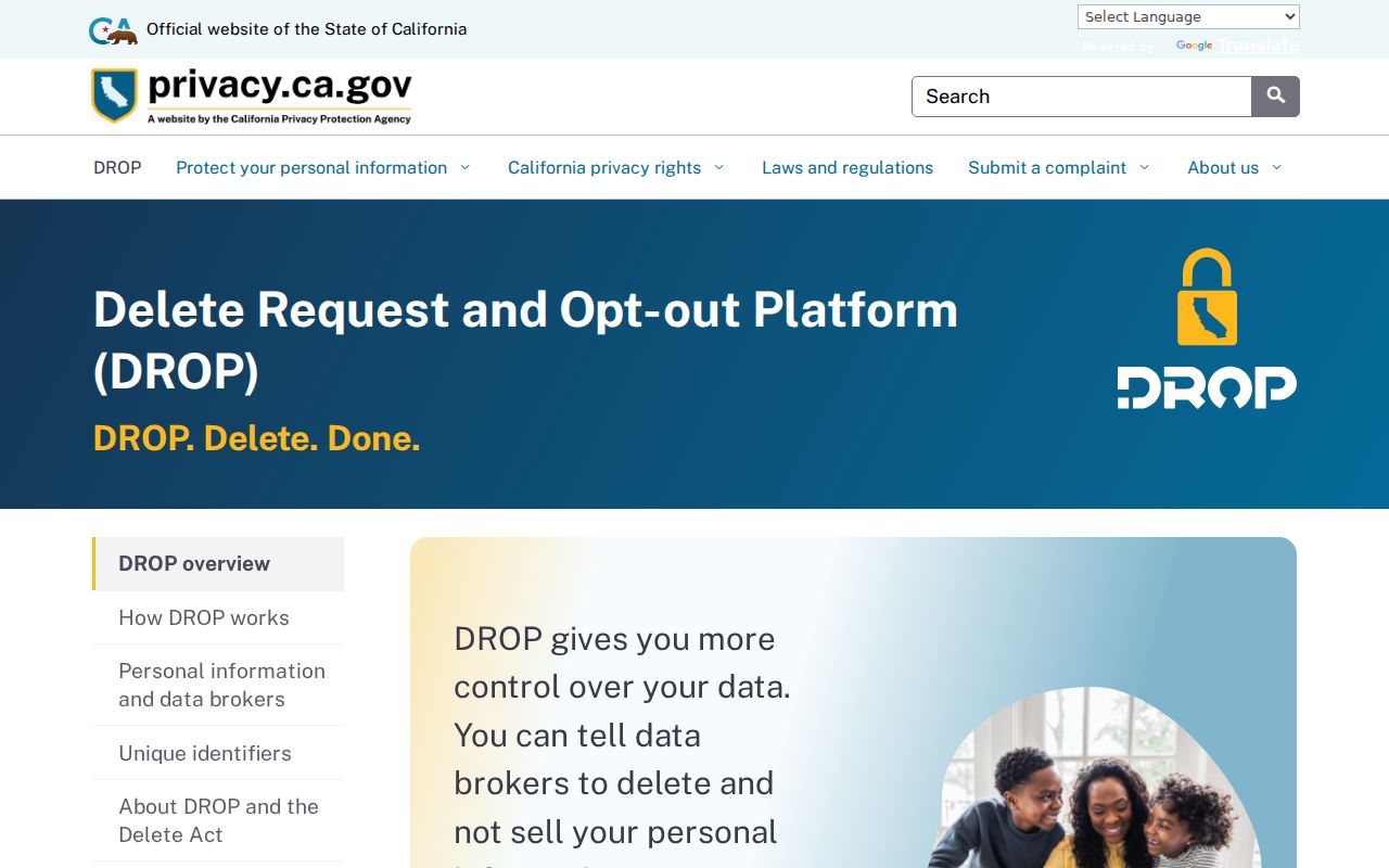
The deletion platform belongs to covered business data. It does not change a verified city or county parcel record.
California consumer privacy rights provide the broader explanation of know, delete, correct, and opt-out rights.
Privacy rights and postal geography answer different questions, so the record source and the ZIP should remain separate in any research note.
ZIP Boundaries Versus Escondido City Limits
ZIP codes are delivery constructs. City limits are legal jurisdiction. Census ZCTAs are statistical approximations. County APNs identify mapped land. These systems can overlap without matching. Escondido’s inland North County setting, incorporated core, and surrounding unincorporated pockets make the distinction important for a ZIP code directory search.
- ZIP code
- A five-digit postal delivery area that can cross a municipal edge.
- ZIP+4
- An added four-digit delivery segment that narrows a mailing route.
- PO-box ZIP
- A code associated with box delivery rather than a standard residential polygon.
- Unique ZIP
- A special code serving one institution or narrow destination.
- Carrier route
- A postal delivery path, not a city neighborhood or resident list.
Check three maps. USPS verifies where an address is delivered, the county list explains regional ZIP geography, and Escondido GIS checks the parcel and municipal setting. No single layer replaces the other two.