
Walk an Escondido Street by Address
A whole-street search is a linked sequence. The secured roll can return parcels by exact address or street name. Escondido’s Parcel Lookup shows geometry and public parcel attributes. The recorder’s index names parties to recorded instruments. A voter-file extract, if lawfully available for a permitted purpose, is a different kind of evidence. A city directory or reverse section can show who was listed at a particular address in a particular year. Start with one address, save each identifier, and do not treat a map polygon as a people roster.
The street directory workflow works best when the same parcel is followed across systems. A parcel may be proposed or retired in the city layer, and a street label may differ from an older volume. Record the spelling exactly before trying a normalized version.
- Run the address or street name through the San Diego County secured assessment search. Save the returned APN, situs, values, exemption amount, and the search date.
- Open the City of Escondido Parcel Lookup and locate the same polygon. Click touching parcels, note their APNs, and check whether an asset is official, proposed, or retired.
- Use the recorder index for named parties and dated instruments. The online search is by party name; APN searching continues at an office kiosk after the 2024 change.
- Use an authorized voter-data route only when the purpose and identity requirements fit Elections Code §§2180-2194. My Voter Status is a personal check, not a street browse.
- For an older street, request the relevant Pioneer Room directory, Sanborn sheet, clipping file, or newspaper date. Compare at least one earlier and one later edition before calling a listing continuous.
Escondido Records by Street
Each address-keyed record set answers a narrower question. The assessment roll is a parcel and value source. GIS supplies location, polygon, zoning, and parcel status. Recorded documents supply transfer parties. Permit files date work at a site. A directory entry supplies a historical listing. The table keeps those meanings apart.
| Record set | Keeper | What it shows | Access |
|---|---|---|---|
| Secured assessment roll | San Diego County Assessor | APN, situs, values, exemptions | Free online; owner withheld |
| Parcel GIS | City of Escondido | Boundaries, zoning, proposed or retired status | Free map |
| Official Records | San Diego County Recorder | Dated deeds, liens, releases, parties | Free index; copy or kiosk image |
| Building permits | City Building Division | Site, applicant, contractor, work, inspections | Portal, counter, or request |
| Directories | Pioneer Room | Listed subscriber or household by year | In person, request, or digitized volume |
The APN is the bridge, but it is not a person. A street name groups parcels; a legal description ties land to recorded maps and instruments. The chain becomes useful when every jump carries a source, date, and limit. That is the core of an Escondido street directory search.
Escondido Assessor Fields for Streets
The county’s current secured-roll form is unusually clear about its street mode. Parcel Number and Address target a known parcel or situs. Street Name is intended for parcels without street numbers, so it can be the better first pass for a street with rural or irregular entries. Typical results include APN, situs, land value, improvement value, total assessed value, and exemption amount. They do not show owner information online under Government Code §7928.205.
| Field or control | Type | Use in an Escondido street directory |
|---|---|---|
| Parcel Number | Text | Repeat a known APN and preserve its exact punctuation. |
| Address | Text | Test the current situs form. |
| Street Name | Text | Find parcels without street numbers. |
| Search / Reset | Buttons | Run a query or clear the prior result. |
For lawful ownership access, the ARCC Property Information page describes telephone and kiosk channels. A mailing address can differ from the situs because of a trust, manager, nonoccupant owner, or mailing preference. It is evidence about correspondence, not proof of residence. Photograph or save the returned parcel facts before moving to the GIS layer.
County parcel-map copies follow a published schedule of $2 for the first page and $0.05 for each additional page. A map can show APN, dimensions, acreage, street widths, lot boundaries, adjacent parcels, and recorded-map references, but not owners or street addresses. Vendor material from ParcelQuest is not a certified ARCC copy.
See the ARCC property-record instructions for the current request route.
The county property-record page explains parcel maps, ownership request channels, and the distinction between a map fact and a certified county copy.
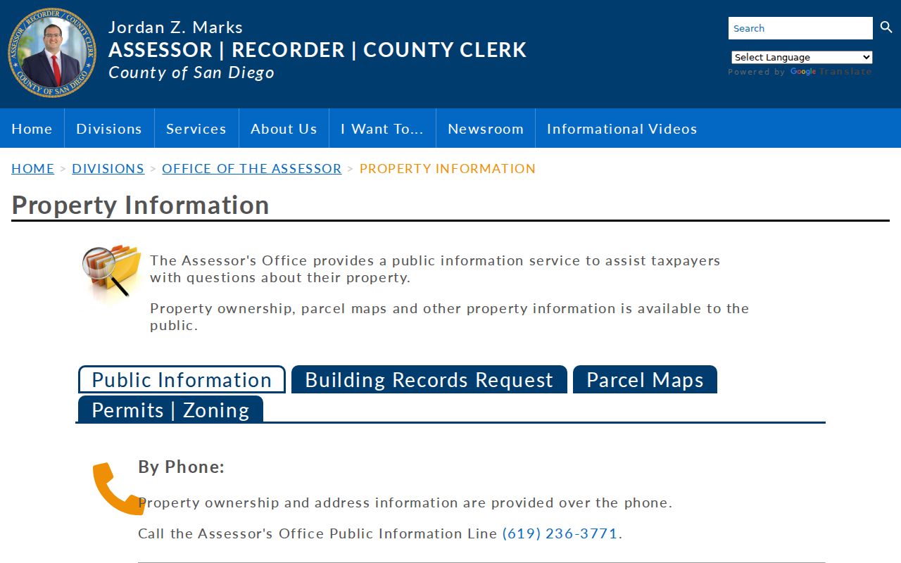
This assessor source belongs before the GIS step because its APN and situs clues identify the parcel to inspect.
The county assessment search shows the address and street fields used in the Escondido street directory. That source view is useful because it also makes the online owner-information limit visible.
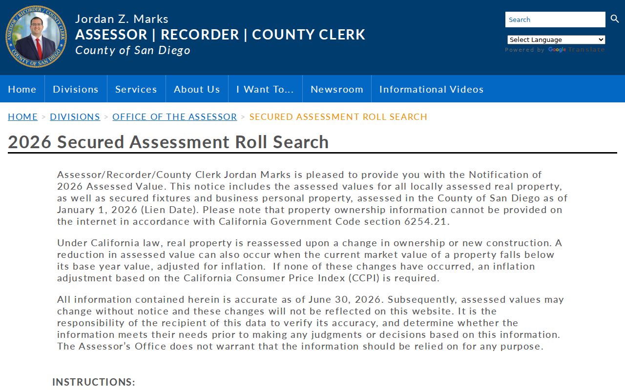
The result is a parcel research aid. It must be paired with the city map or a recorded instrument before a street-level conclusion is made.
Escondido Street GIS Parcels
The City of Escondido Parcel Lookup is the practical map step. Search by address or APN, zoom to the selected polygon, then click parcels that touch it. Available public layers can expose parcel, zoning, general-plan, and related development attributes. The official ArcGIS parcel metadata identifies APN as the display field and records polygon geometry. It also preserves “Proposed” parcels not yet assigned official APNs and “Retired” parcels replaced after subdivision or another change.
Those statuses matter on an active street. A new plan-lot identifier can be the temporary bridge before a county APN is assigned. A retired APN can preserve the historic link after a lot split. Do not claim a buffer or radius tool that the public metadata does not verify. Map browse is the reliable method: locate, read, click adjacent, and then move to the custodian for any person or ownership question.
Escondido’s official Parcel Lookup supplies the entry screen for a street directory search.
The map narrows the block and shows how adjacent parcels meet. It does not list every person who uses a parcel.
The official parcel-layer metadata documents APN, geometry, and the proposed or retired parcel mechanics behind the map.
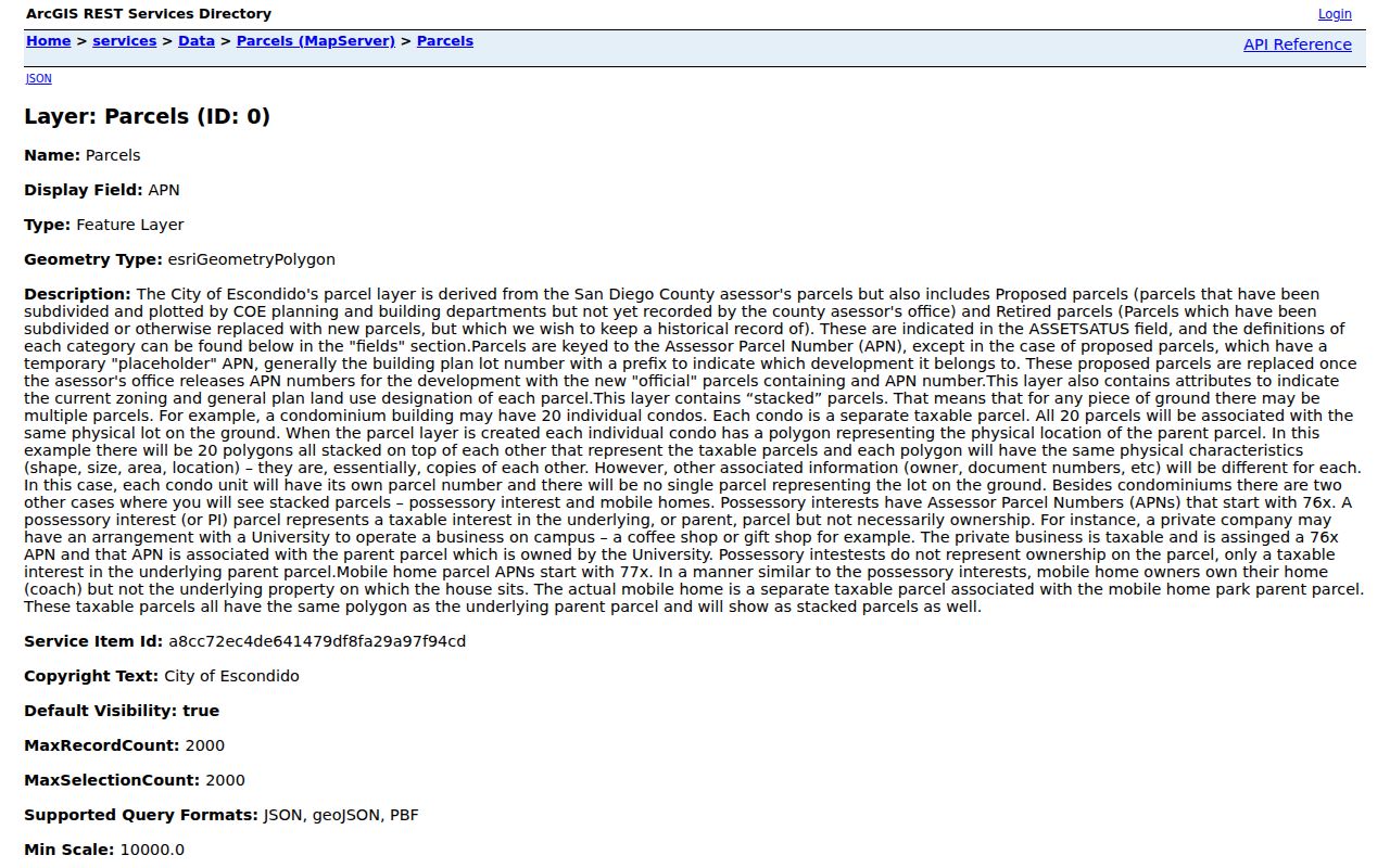
Keeping the layer’s status field with the APN helps explain why an older street entry may not match today’s parcel map.
Why Escondido APN Search Changed
AB 1785 removed APN searching from the public online ARCC Official Records Index on December 9, 2024. The online index still searches grantor and grantee names and returns recorded-document index data from 1970 forward. APN search remains available at public kiosks in five ARCC offices. That is a local workflow change, not the disappearance of the underlying record.
For a street directory search, first collect APNs from the secured roll and city GIS. If the goal is a current or recent document, search the named party online. If the party is unknown or the parcel history is the key, use an office kiosk. Images are not shown on the free web result. They can be viewed at a kiosk or ordered by mail or online. Mail requests need a document number, recording year, party, and document type.
The recorder’s published copy schedule is $2 for the first page, $0.05 for each added page, and $1 for certification, with a $2.50 card charge. Records normally appear 24-48 hours after recording. Record the document number before requesting an image.
Deed Chains Along Escondido Streets
A deed chain turns a parcel clue into a sequence of named parties. Begin with the current owner through an allowed assessor phone or counter channel. Find that party’s acquisition document. Read the grantor, grantee, recording date, document number, and legal description. Search the seller as a prior grantee. Repeat until the online 1970 boundary, then use ARCC or County Archives books for older instruments.
The legal description is stronger than a street label when an address changed. A recorded map reference can tie the parcel to a lot and block. The recorder’s grantor-grantee index is a finding aid, not a title opinion. A deed shows parties to the instrument, not every household member or current occupant.
- Grantor
- The party transferring an interest in the recorded instrument.
- Grantee
- The party receiving the interest named in that instrument.
- Legal description
- The lot, map, metes, or other land description that identifies the real property beyond a postal label.
- Situs address
- The location of the land. It can differ from a tax mailing address.
This chain belongs to the street directory’s current parcel angle. A backward household history needs the separate Escondido previous residents workflow and its directory, census, and archive sources.
Escondido Street Permit Records
City permit evidence is useful for a street because it can place an alteration or structure in time. A record may show permit number, site, work description, applicant or contractor, valuation, issue or status, and inspection events. The applicant is not necessarily the owner or resident. Plans and drawings may require a separate request, and copyright, security, structural-safety, or privacy review can limit release.
The Building Division accepts specified permit types through the city portal, including residential MEP trades, reroof, water heater, HVAC, pre-approved ADU, solar or photovoltaic, and commercial signs. Other applications may go to the counter or buildingpermits@escondido.gov. From October 16, 2025, inspection scheduling and viewing moved to the account-based City Portal and requires the permit search code printed on the permit or inspection card.
The Escondido Building Division page identifies the counter, portal, and electronic-plan procedures before an address-based permit request is submitted.
For older work, search completed city requests before opening a new NextRequest request. Give the exact street address or APN, permit or case number, department, and bounded date range. If no public case search is verified, ask Code Compliance or the Building Division for an identifiable existing record.
Historic Escondido Street Clues
The Pioneer Room’s city and telephone directories run from 1886 through 2018, while Sanborn maps cover 1892-1927. A reverse section, when present in a particular volume, is arranged by street and house number. It can turn an old address into a listed subscriber or household clue. The research file does not prove that every volume contains a reverse section, so inspect the title page, contents, and abbreviation key in the exact edition.
Sanborn sheets add building footprint, material, use, and address context. Newspapers, property clippings, and yearbooks can explain a move or identify a family connection. No authoritative citywide street-renumbering year was verified for Escondido. Compare adjacent directory years, Sanborn sheets, parcel maps, and Pioneer Room files instead of forcing an old number into a modern one.
Escondido Street Owner Alerts
ARCC Owner Alert is a narrow fraud-notification service that can watch up to ten names and ten APNs per email. It sends alerts for documents recorded after enrollment. The notice contains a document number and link, but not the instrument’s full contents. It is useful for a parcel owner tracking a new filing, not for discovering who lives along a street.
The official Owner Alert page is the source for enrollment and current terms.
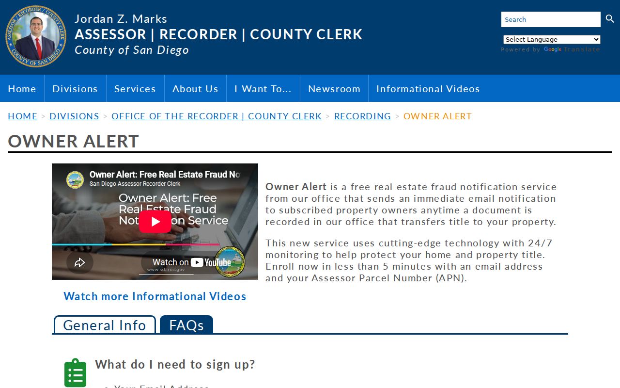
The alert adds a timely signal to the recorded-document trail. Confirm any suspicious transfer with ARCC using a published office number.
Privacy Limits in an Escondido Street Directory
A parcel map identifies land, not a complete household. A deed identifies parties, not every person using a site. People absent from a public filing, utility customer data, delivery records, and DMV addresses are outside an ordinary street directory search. Safe at Home participants have protected substitute-address handling. California voter data is restricted to permitted uses, and My Voter Status is authenticated rather than browseable.
Lawful personal use. Escondido address records support genealogy, property history, civic research, and ordinary neighbor awareness. Do not use records to stalk, harass, intimidate, or harm anyone. When an entry conflicts, ask the custodian to verify or correct it instead of trying to expose protected information.
The street directory is strongest when it states what the source actually proves. For a full block around one address, use the Escondido neighbors workflow. For the long chain of a named street, retain the APN and legal description at every step.