
Find Escondido Neighbors by Parcel
A block lookup is a small geography exercise. Start at one known address, identify the surrounding parcels, and then choose the source that can answer the next question. GIS shows adjacency. The assessment roll shows parcels and values. A deed shows named parties and dates. A neighborhood group shows a civic boundary and organizing contact. A reverse directory shows a dated listing when that edition provides one. None is a complete list of every person on the block.
| Source | What it shows about a block | Access |
|---|---|---|
| Escondido Parcel Lookup | Adjacent polygons, APNs, zoning, parcel status | Free map browse |
| Secured assessment roll | Street-wide parcels, situs, values, exemptions | Address or street search; owner withheld online |
| Recorded documents | Transfer parties and dated instruments by parcel | 1970-present web index; APN kiosk route |
| Neighborhood Groups map | Group boundaries and organizing contacts | City page and map |
| Directories | Historic listed names along a street or block | Pioneer Room by edition |
The source order matters. Map first. Parcel second. Custodian record third. Keep a note that says owner, recorded party, listed subscriber, or group contact. That small label prevents a block lookup from turning a land record into a claim about a household.
Escondido’s official neighborhood-group resource explains the city’s boundary and organizing framework.
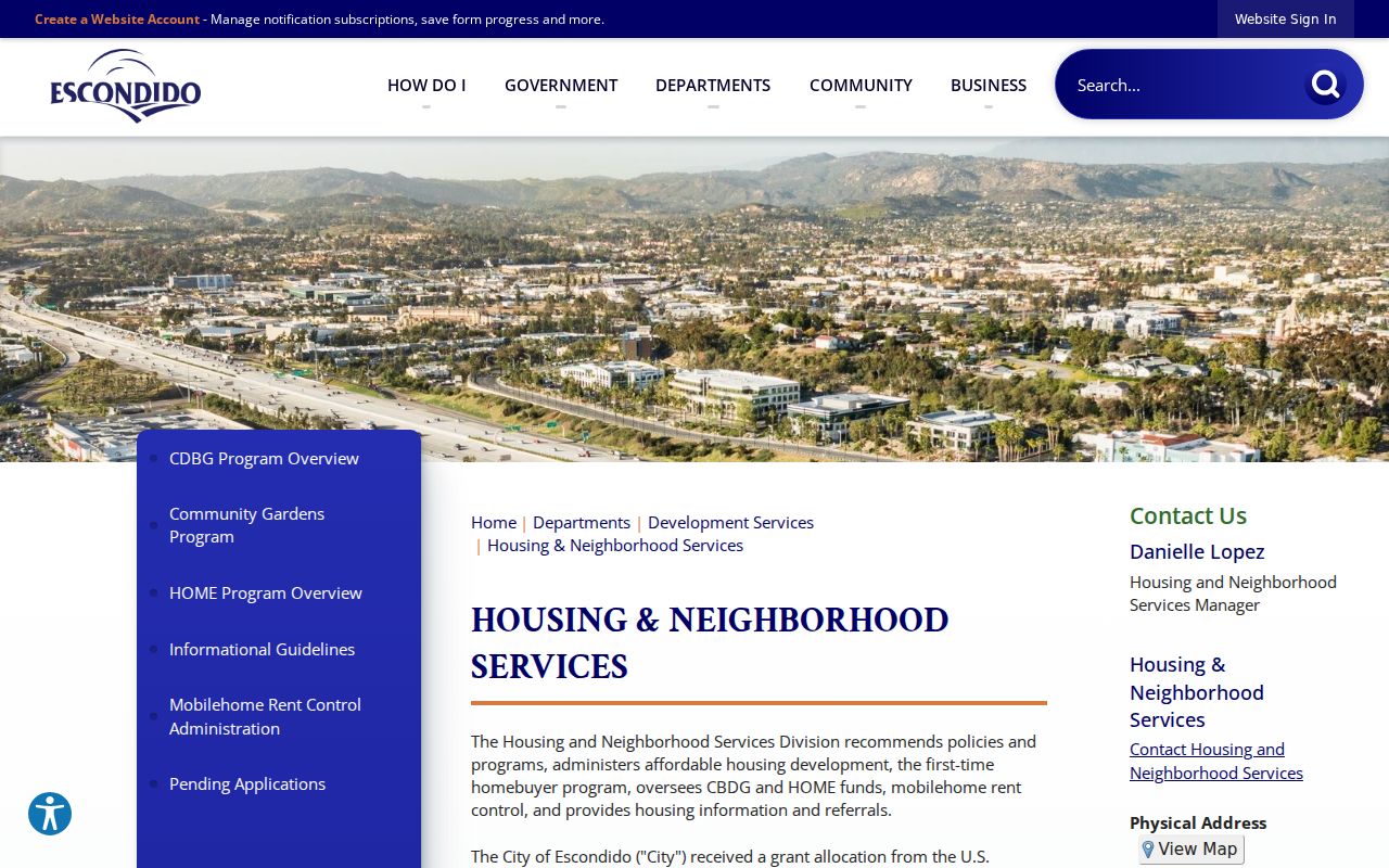
The city resource is a civic contact map, not a public roster of everyone who lives inside a boundary.
Map an Escondido Neighbor Block
The reliable adjacent-parcel technique is map browse. Escondido’s parcel service can show the selected polygon, its public attributes, and touching polygons. The ArcGIS parcel layer documents APN as the display field and preserves geometry. It also includes proposed parcels before a county APN is assigned and retired parcels after replacement. Those statuses help when the block has changed.
- Search the known address or APN in Escondido Parcel Lookup and save the target parcel’s APN, status, and map position.
- Click each polygon that touches the target. Record its APN, street label, zoning or general-plan clue, and whether it is proposed or retired.
- Use the secured roll by address or street name to compare the parcel set. Online ownership information is withheld, so do not fill the gap from an unsourced compilation.
- Search recorded documents by named party or use an ARCC kiosk for APN mode when the parcel history requires it.
- For a whole named street, switch to the full street-by-street chain rather than treating adjacent parcels as the end of the research.
The process is address to polygon to APN to custodian record. It is not address to a guaranteed list of neighbors.
The Escondido Parcel Lookup entry point is the first map step.
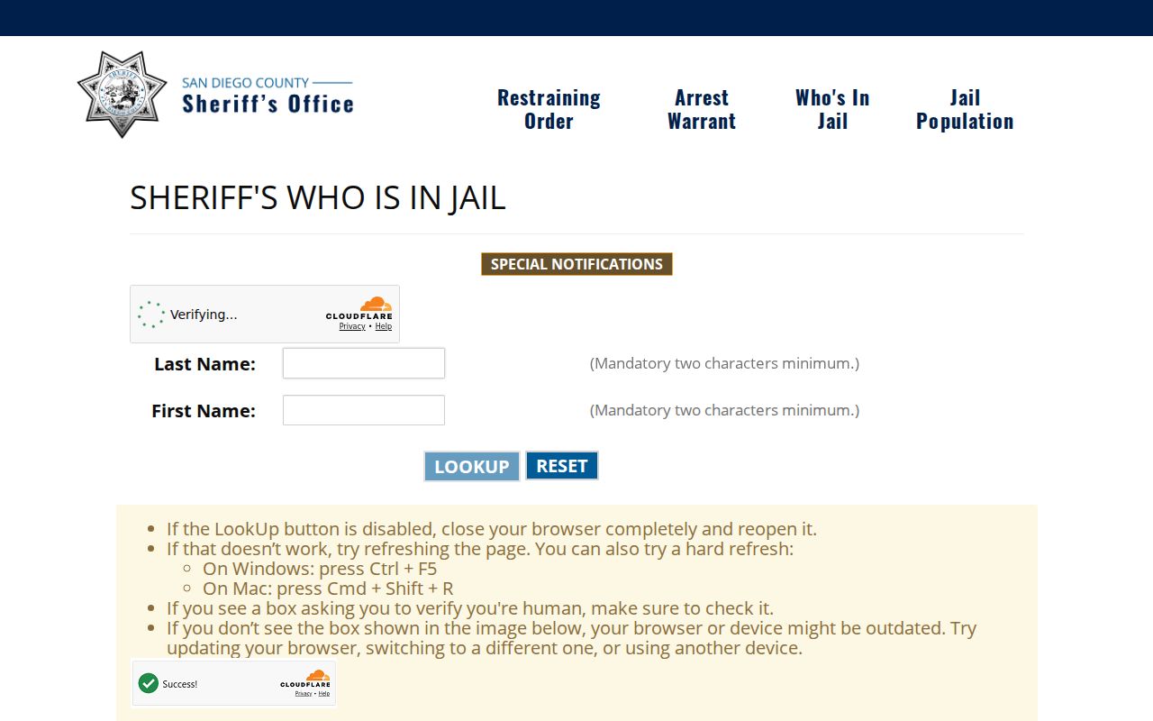
A custody search is a separate narrow public tool, included here as an example of why a result must be labeled by record type and not treated as a block roster.
Escondido Neighbor GIS Parcel History
Most parcel maps hide the history of a lot split unless a status field preserves it. Escondido’s city layer carries proposed parcels with temporary plan-lot identifiers and retired parcels that have been replaced through subdivision or another change. A current block map can therefore be connected to an older parcel or permit record without guessing that two similar addresses are the same.
Use the APN, asset status, legal description, recorded map, and street form together. Proposed data can be a temporary bridge during development. Retired data can be the historic bridge after a replacement. The map does not verify a household, but it can explain why a neighbor’s old address or deed search seems to disappear.
The official Escondido parcel-layer metadata documents the fields behind this local continuity aid.
Escondido Block Evidence for Neighbors
Ownership and occupancy are separate. A deed names parties to a transfer. An assessment record supplies parcel facts and values, with online owner display suppressed. A mailing address, if lawfully obtained, can reflect a trust, manager, or nonoccupant owner. A directory names a subscriber or listed person for one year. A voter file is restricted and My Voter Status is authenticated. Household members who are not named in a public record remain outside this evidence set.
For a block question, use the least intrusive source that answers it. A GIS click may be enough to understand parcel shape. A city neighborhood meeting contact may help with civic history. A deed may answer a recorded transfer. A historical directory may answer who was listed in a past edition. Do not combine those into a claim that every person at each address is known.
The ARCC property-record guidance explains the lawful ownership request channels and parcel-map limits.
Escondido Neighborhood Groups and Neighbors
The city’s Neighborhood Groups Map, last updated August 8, 2022, names 19 groups. Examples include Adams/Gamble, CALM Grove, Cedar-Cedarbrook, Lansing Circle, Los Arboles, Mission Grove, Mission Park Area, North Hickory, Old Escondido Historic District, Ontario, Orange Place, Park Place, Rustic Village, South Elm/Hickory, South Tulip Group, The Elms, WIN, West Hillside, and RtF. The list identifies organizing geography, not every member or household.
Neighborhood Services Contact
City Hall, 201 N. Broadway
760-839-4841
Group boundaries and organizing guidance
Old Escondido Historic District
Established 1989
Roughly Fourth to Thirteenth and Escondido Boulevard to Chestnut
Historic-contact and house-history clue
Pioneer Room
Historic property and directory files
760-839-4315
Research request or in-person archive
City guidance says a neighborhood group should set geographic boundaries, remain open to residents and property owners, obtain majority consent, and have willing leaders with at least three board members. Those requirements describe organization, not a public member database. Private associations, congregations, and clubs must not be turned into a roster unless they affirmatively publish one.
Old Escondido Neighbors in the Historic Core
Old Escondido Historic District was created in 1989 and is described as covering roughly 900 homes from Fourth Avenue on the north to Thirteenth on the south, with Escondido Boulevard on the west and Chestnut on the east. Houses from the mid-1880s forward make the area a strong place to pair Sanborn sheets, city directories, property clippings, and preservation contacts.
The district identity is a history clue, not a neighbor lookup. A house-tour file or owner submission can lead to a name or date, but deeds, permits, and directories should check legal or occupancy claims. Central-core groups such as Westside, Orange Place, Mission Park, Tulip Street, and North Hickory help locate the civic vocabulary used in older records.
Official Rolls Versus Escondido Neighbor Tools
Commercial compilation tools may offer a quick-looking result, but they merge public filings and purchased data, preserve stale addresses, and conflate names. They are not custodial records. Official sources are slower because each has a defined field and legal access rule, but their limits are visible.
| Question | Official source | Compilation tool |
|---|---|---|
| Which land parcels touch? | Escondido GIS geometry | May use an unclear map source |
| Who is named in a deed? | ARCC index and instrument | May merge names or omit the document |
| Who is a civic contact? | City neighborhood-group page | May show stale or copied data |
| Who was listed years ago? | Pioneer Room edition | May not preserve the original page |
For a block research note, cite the official map or custodian and the date. Use a secondary result only as a lead to the underlying office, never as the proof.
Narrow Escondido Neighbor Searches
Some public tools appear in a block search because they answer a narrow question. The Sheriff Who’s in Jail tool is a current county-custody lookup. Megan’s Law is a statutory public registry with its own warnings. California bizfile is an entity index. ClaimIt is an unclaimed-property search. Each can supply a clue about a person or organization, but none is a directory of every Escondido neighbor.
The San Diego County custody lookup has its own search and publication limits.
The California Department of Corrections and Rehabilitation incarcerated person locator covers state custody, not county jail or a neighborhood roster.
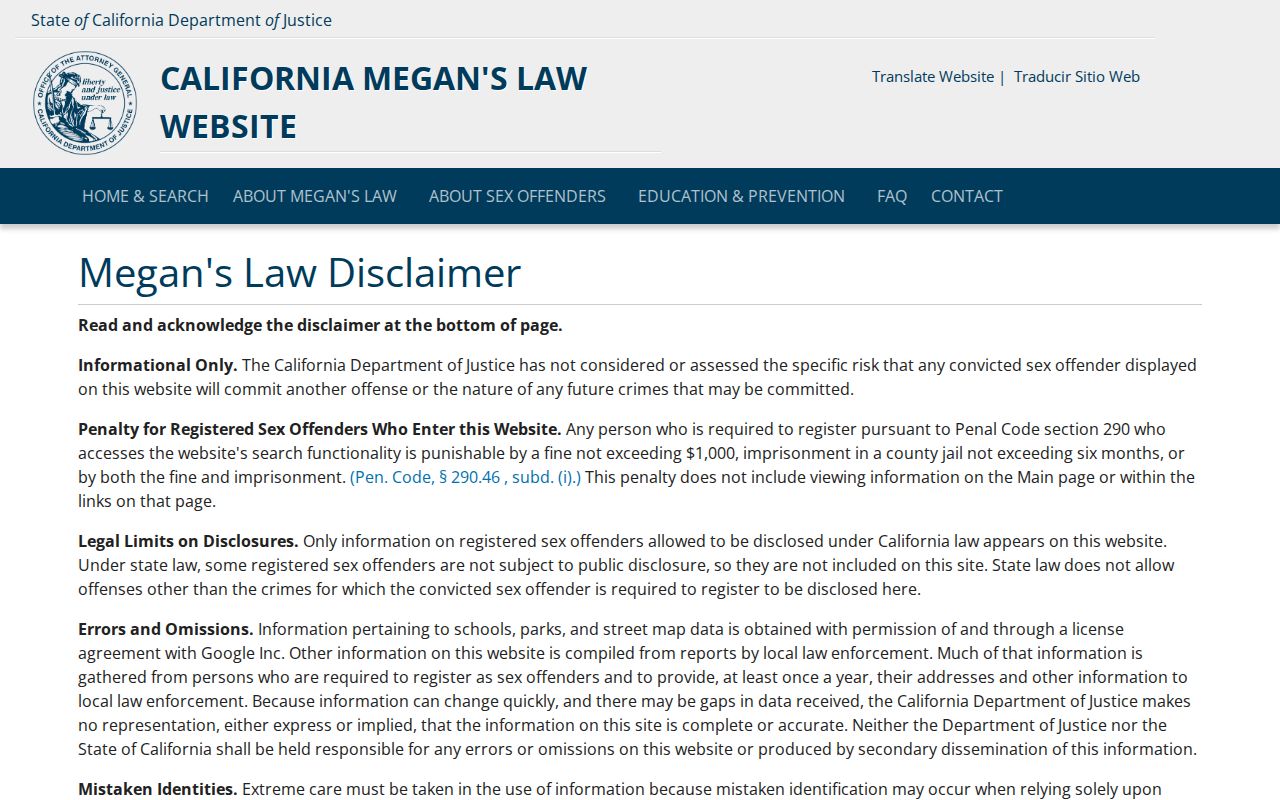
Statutory registry information must be used only as allowed and never as a reason to harass a person.
California’s official registry carries the controlling lawful-use warnings.
A business filing can show an entity, agent, or filing address. It does not establish a neighbor’s home address.
bizfile Online is the official entity search route.
Unclaimed property is a historical affiliation clue, not current residence proof.
The State Controller’s ClaimIt portal is the free official search and claim route.
Professional license records are another narrow affiliation source. The California Department of Consumer Affairs search can use a name, license number, board, city, or license type, with fields that vary by participating board. A license may show status, issue or expiration information, public discipline, or an office address. It should be paired with the parcel and date clues rather than treated as a private-residence record.
The City Clerk staff directory has its own small search by category, first name, and last name, and publishes official work roles and contacts. That is useful when a block question is really about a city project or public contact. It does not disclose private household information.
Privacy Limits on an Escondido Neighbor Lookup
Renters, household members, utility customers, delivery customers, and people absent from a public filing do not become visible merely because a parcel is mapped. DMV addresses are limited by the federal Driver’s Privacy Protection Act. Safe at Home participants use confidential address handling. Voter data cannot be browsed by street through My Voter Status.
Lawful personal use. Escondido neighbor research is for getting oriented to a block, reconnecting, genealogy, civic participation, and ordinary personal safety awareness. Do not use a record to stalk, harass, intimidate, or harm anyone. Do not try to defeat a protected-address program.
When the question shifts from the immediate block to every parcel on a named street, use the Escondido street directory address chain. When it shifts to one person, use the resident lookup and compare the appropriate custodian records.